Multi-signal collection
Capture Wi-Fi beacons, Bluetooth advertisements, and optional TPMS packets with GPS and time correlation. Each scan becomes a point in a larger, navigable picture.
StormCloud discovers and visualizes wireless signals in your environment— aggregating Wi-Fi, Bluetooth/BLE, and TPMS telemetry into a unified, searchable picture. Map what’s near you, watch activity live, and drill into history.
Capture Wi-Fi beacons, Bluetooth advertisements, and optional TPMS packets with GPS and time correlation. Each scan becomes a point in a larger, navigable picture.
Tile-based clustering keeps the map responsive as datasets grow. Drill into dense areas, filter by time range, and see a coverage footprint at a glance.
Organize field work into named collections, compare routes, and review time-ordered history for any SSID or MAC across all of your scans.
Real-time aware
The StormCloud Android app acts as a field sensor, pairing onboard Wi-Fi, Bluetooth, and GPS with the StormCloud backend. Run fully authenticated, or use anonymous mode when you just need quick situational awareness.
StormCloud is designed for research, diagnostics, and situational awareness. The app includes an in-app safety gate and reminders to only use it when it’s safe and legal to do so.
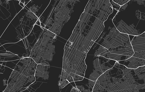
Capture a broad slice of urban RF activity: SSIDs, mesh networks, and Bluetooth beacons across a city grid. Compare morning vs. evening runs.
Establish a baseline of devices around a specific facility or campus, then compare later collections to quickly spot new or unexpected signals.
Track how signal density changes around events, temporary deployments, or pop-up operations, using named collections for each session.